The Advent of Subdivisions in the Upper Hunter from the Early 1840’s
The years of drought in the late 1820s, the sheep and cattle buying mania of the late 1830s and the subsequent financial crash of the early 1840s took their toll, and the large landholders began to consolidate their lands, sell their properties, lease out portions of the lands to tenant farmers and finally to subdivide their lands into smaller portions suitable for the small landholder. The commercial subdivision plans for the region show successive subdivisions of once highly profitable estates. Typically, the ‘homestead block’ was reserved from sale and continued to retain a larger amount of land, basically moving from a large agricultural enterprise to a medium sized prosperous farm. In a few cases, the development of the original estate included two homesteads located on different sites, although on the same property. One may have been the first, unsophisticated residence, while the other a somewhat grander and certainly more comfortable residence.
Alternatively, one residence may have housed the property owner, while the other was for the overseer and/or manager of the property. Subsequent subdivision tended to result in two separate nodes of settlement, and each site with its own homestead complex developed independently. However, in many cases the earlier land allotments associated with the estate can still be identified in the landscape, as new boundary lines often follow historic boundaries, and tracks that were once stock routes also become boundary divisions or public roads.
Historical documentation is also already available to highlight the run on alienated or Crown land settlement type. Various place names, like ‘Sheep Station Creek’ may also refer to the location of a run on Crown land. The 1885 subdivision plan for St Heliers near Muswellbrook shows the combination of a hut and sheepyard at two locations on the property, approximately 4.8 kilometres from the homestead. This document gives an indication of what must have been a common practice on the larger properties, particularly in the period of convict transportation up to 1840 the use of shepherds and before the advent of wire fencing in the 1860s.
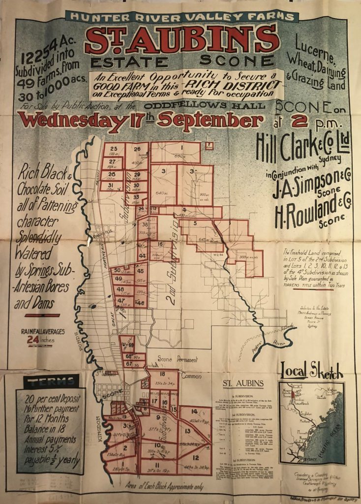
Other property or subdivision plans reveal that many homestead complexes had a greater range of different outbuildings than survive today; for example, Bellevue, Elmswood, Glendon, Glen Livet and St Aubins. At St Aubins, the homestead is located to the south of Scone but the associated shearing shed and shearer’s quarters are located at the other end of the estate at Parkville.
Reference: HUNTER ESTATES
A Comparative Heritage Study of pre 1850s Homestead Complexes in the Hunter Region